
TechWARMS team on a data collection field trip to Obion River
- Aug 6, 2016
- 1 min read

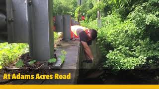
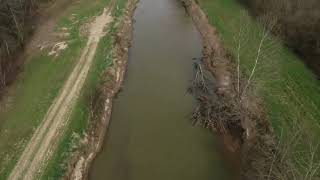
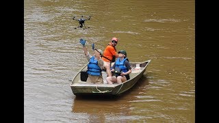
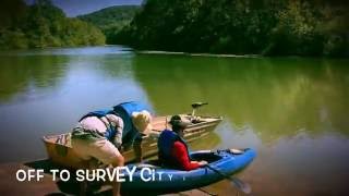
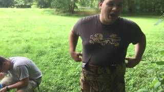
In early August of 2016, TechWARMS researchers teamed up with Dr. Greg Nail, UT Martin and conducted a Field Trip to collect river bathymetry data and streamflow measurement along several locations in the Obion River System. Figure 1 below shows the sites that were scheduled to be visited. Over a 4-day period August 3-6th, over 8 sites were visited mainly in the North, Middle and South Forks of Obion River.In addition to data collection, a continuously monitoring water level logger was installed in the Gooch Wildlife Management Area, upstream of the confluence of Obion's South Fork with North Fork. These are some videos from the trip. The project is funded by a USDA-NIFA grant, with collaborating partners from UTIA, UT-Knoxville, MTSU, UMemphis. The field trip is funded partly by USDA, TTU Water Center and TTU CEE.


Comments